What archaeology says
The Storegga Slide is a real and well-mapped catastrophe. Around 8,150 years ago some 3,000 cubic kilometres of sediment detached from the Norwegian continental margin and flowed downslope, probably destabilised by gas hydrates and by sediment loaded on during the last glaciation. The collapse generated a tsunami whose run-up sediments have been dated and traced.
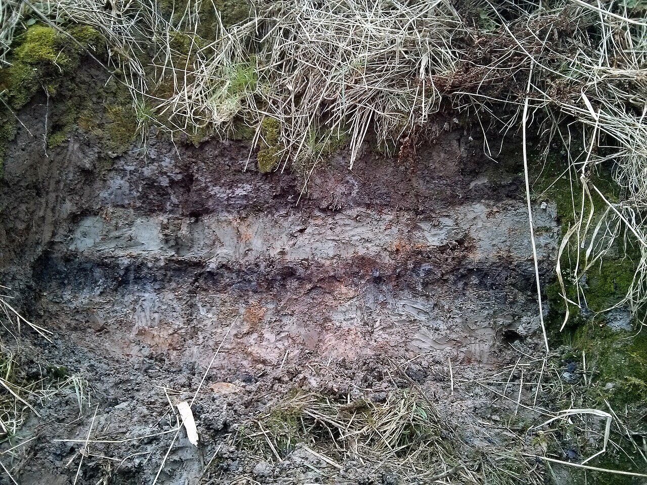
Those deposits are unmistakable in the field. In eastern Scotland a sand layer within coastal peat records a wave that reached several metres above the tide line and pushed many kilometres inland around the Montrose Basin and the Firth of Forth; similar layers occur in Norway, the Shetlands and elsewhere. Radiocarbon dating of plant material in the tsunami sand gives a tight age near 6200-6100 BC.
Bernhard Weninger and colleagues argued in 2008 that the wave delivered the coup de grace to the low-lying remnants of Doggerland, the drowned plain that once joined Britain to the continent. More recent work, including studies by Jon Hill and by Vincent Gaffney's team, has modelled the wave and reassessed how catastrophic it truly was for the last Mesolithic inhabitants.
- Sonar and coring map a vast slide scar and debris apron on the Norwegian margin, involving thousands of cubic kilometres of sediment.
- A distinctive tsunami sand layer sits within coastal peat in eastern Scotland, Norway, Shetland and Denmark.
- The Montrose Basin and Firth of Forth deposits show run-up several metres above the contemporary tide and kilometres inland.
- Radiocarbon dates on plant material in the deposit cluster tightly around 6200-6100 BC (about 8150 years ago).
- Weninger and colleagues (2008) linked the wave to the final inundation of Doggerland's surviving lowlands.
- Independent tsunami modelling reproduces wave heights and inundation broadly matching the field deposits.