Lost Worlds · Bothnian Sea (Gulf of Bothnia), between Sweden and Finland

The Baltic Sea 'Anomaly'

A blurry 2011 sonar blob that the internet turned into a crashed UFO — and geologists identified as a glacial deposit. A model case of how a sonar artefact becomes a myth.

Mainstream: A glacial / post-glacial deposit shaped during and after the last Ice Age (roughly the last ~12,000 years)Alternative: Claimed by some enthusiasts to be an artificial object of unknown, possibly great, age60.83°, 19.79°

At a glance

The Baltic Sea 'Anomaly'
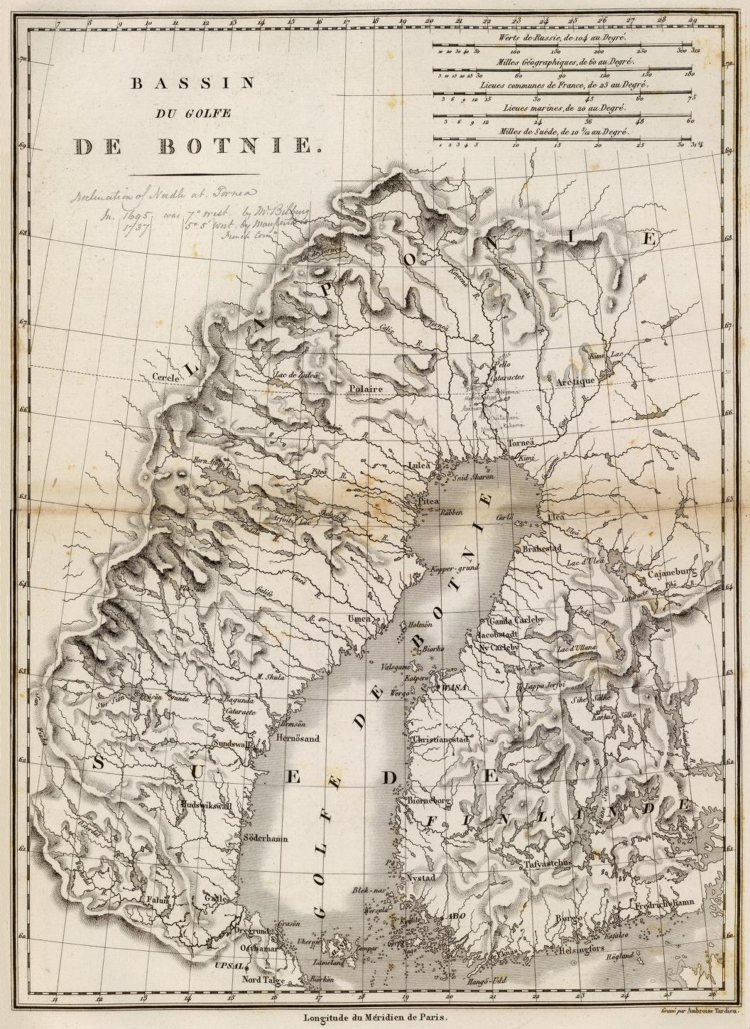
Photo: Ambroise Tardieu (1827) · Public domain

The 'Baltic Sea anomaly' is a roughly 60-metre-wide, near-circular feature on the floor of the Bothnian Sea, at about 87 to 91 metres depth between Sweden and Finland, recorded as an indistinct side-scan sonar image on 19 June 2011 by the Swedish treasure-hunting outfit Ocean X Team. When the image leaked in early 2012 it was amplified worldwide — by the Daily Mail and countless websites — and read variously as a crashed UFO, a sunken Atlantis, a Nazi anti-submarine device or a Star Wars 'Millennium Falcon'. Geologists who examined the samples and setting concluded it was a natural glacial formation. The anomaly is less a mystery than a case study in how a low-quality sonar image and a media rumour cycle can manufacture a lasting legend.

See it on the globe →
The mainstream view

What archaeology says

Geologists and marine scientists regard the anomaly as a natural glacial or post-glacial feature — most likely a moraine, drumlin or rock outcrop of a kind entirely ordinary in the heavily glaciated northern Baltic. The whole Bothnian region was shaped by ice sheets and by the meltwater and rebound processes that followed the last Ice Age, and irregular mounds, boulder fields and ridges litter its seabed.

The physical samples support this reading. Stones recovered from the site by Ocean X were examined by Volker Brüchert, an associate professor of geology at Stockholm University, who identified them as granites, gneisses and sandstones formed in connection with glacial and post-glacial processes; among them was a loose piece of basaltic rock, out of place on that seafloor but not unusual as glacial dropstone. Other specialists reached the same conclusion: Finnish geomorphologist Jarmo Korteniemi described the 'runway' as most likely a natural rock formation such as a glacially formed drumlin, and Charles Paull of the Monterey Bay Aquarium Research Institute suggested a rock outcrop, trawler-dumped sediment or even a school of fish could explain the imagery.

Critically, the striking 'straight edges', 'stair steps' and 'runway' that fuelled the mythology are largely artefacts of the sonar itself. Side-scan sonar of poor resolution, imperfect calibration and awkward geometry routinely produces blocky, angular renderings of soft natural shapes. The mainstream verdict is unambiguous: a mundane glacial mound, transformed by a bad sonar image and media hype into an 'anomaly'.

Key evidence cited
  • Recovered stones identified by Volker Brüchert (Stockholm University) as glacial granites, gneisses and sandstones
  • A regional seabed shaped throughout by glacial and post-glacial processes, full of mounds and outcrops
  • Independent geologists (e.g. Jarmo Korteniemi) interpreting the feature as a natural drumlin/rock formation
  • Charles Paull (MBARI) noting a rock outcrop, dumped sediment or fish could explain the sonar return
  • The 'edges' and 'stair steps' matching known distortion artefacts of low-quality side-scan sonar
The alternative view

What the skeptics propose

The alternative reading, kept alive largely by the Ocean X divers Peter Lindberg and Dennis Åsberg and by a wide UFO-and-mystery online community, holds that the feature is or might be artificial. Enthusiasts point to reported details from the divers — apparent right angles, a 'staircase', a raised object sitting on a pillar-like or track-like base, and claims that electrical equipment malfunctioned near the site — and argue these are hard to reconcile with a plain rock.

Steelmanned, the case rests on a few real points: side-scan sonar cannot by itself prove a feature natural, the divers did visit the site directly rather than relying on the image alone, and full, high-resolution multibeam survey and systematic sampling of the whole structure were never comprehensively published. In principle, an unusual seabed feature deserves proper survey before dismissal.

But the evidence weighs heavily against artificiality. The 'anomaly' first appeared in a demonstrably low-quality sonar image; the recovered rocks are ordinary glacial lithologies; independent geologists converge on a glacial explanation; the reported equipment failures are anecdotal and unverified; and the most spectacular 'features' track the known failure modes of side-scan sonar rather than any built structure. Here the honest reading lets the evidence lead: unlike a genuine drowned townscape such as Mahabalipuram, the Baltic anomaly has produced no artefacts, no datable construction and no coherent geometry under scrutiny — it is best understood as a natural glacial deposit that became famous, and a cautionary tale about sonar artefacts and media amplification.

Key evidence cited
  • Divers' reports of apparent right angles, a 'staircase' and a raised object on a base
  • Anecdotal claims that electrical equipment malfunctioned in the immediate vicinity
  • The fact that side-scan sonar alone cannot conclusively prove a feature is natural
  • Ocean X's direct dives to the site rather than reliance on the image alone
  • The absence of a fully published high-resolution multibeam survey of the whole feature

Genuinely open questions

  1. Would a full multibeam survey and systematic sampling settle the feature's shape and origin completely?
  2. How did such a low-resolution sonar image acquire such durable global mythology?
  3. What precise glacial process (moraine, drumlin, dropstone field) best fits the mound's morphology?

Worth knowing

Much of the anomaly's fame rests on 'straight edges' and a 'staircase' that geologists say were never really there — they are classic distortions of a poorly calibrated side-scan sonar reading a perfectly ordinary glacial mound.