What archaeology says
Historians long treated Rungholt with caution because the legend so outgrew the evidence, but documentary traces — including a 1345 trade agreement with Hamburg mentioning the settlement — showed a real place. The 1362 Grote Mandrenke is one of the best-attested natural disasters of medieval Europe, a storm surge that permanently redrew the North Sea coast, shattered the island of Strand and drowned dozens of parishes. Rungholt's destruction fits a well-understood pattern: intensive medieval peat cutting and drainage had lowered the land surface behind the dikes, leaving the cultivated marsh fatally vulnerable when the sea broke through.
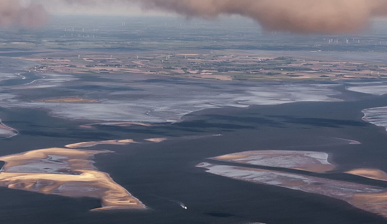
The first physical evidence came in the 1920s and 1930s, when the tides scouring the mudflats near Hallig Suedfall exposed remains of dikes, wells and sluices, doggedly documented by the amateur researcher Andreas Busch. The transformative work came in the 2020s: a joint team from Kiel University, Johannes Gutenberg University Mainz, the Centre for Baltic and Scandinavian Archaeology (ZBSA) and the State Archaeology Department of Schleswig-Holstein applied magnetic gradiometry, electromagnetic induction and seismic survey to more than ten square kilometres of tidal flats.
Their published results catalogue 54 terps (dwelling mounds), systematic drainage ditches, a sea dike with a tidal-gate harbour and two smaller church sites — and, announced in May 2023, a newly found two-kilometre terp chain with foundations of a large church, roughly 40 by 15 metres. Geophysicist Dr Dennis Wilken (Kiel) led the prospection work, and archaeologist Dr Ruth Blankenfeldt (ZBSA) noted that a church of this size implies a parish of superior rank — very plausibly the centre of Rungholt itself. The team warns the eroding mudflats are destroying the remains even as they are mapped.
- A trade document of 1345 between Rungholt merchants and Hamburg attests the settlement's existence and commercial importance before the flood
- The Grote Mandrenke storm surge of January 1362 is documented across northern Europe, with chronicle reports of catastrophic coastal losses
- Andreas Busch's observations from the 1920s-30s recorded dike lines, wells and sluice remains exposed in the mudflats near Hallig Suedfall
- Geophysical survey of over ten square kilometres has mapped 54 terps, drainage systems, a sea dike and a tidal-gate harbour
- The May 2023 announcement by Kiel University, JGU Mainz, ZBSA and the Schleswig-Holstein state archaeologists reported church foundations of about 40 by 15 metres on a newly found terp chain
- Medieval finds recovered from the flats — ceramics, metalwork — are consistent with a prosperous 14th-century Frisian trading community