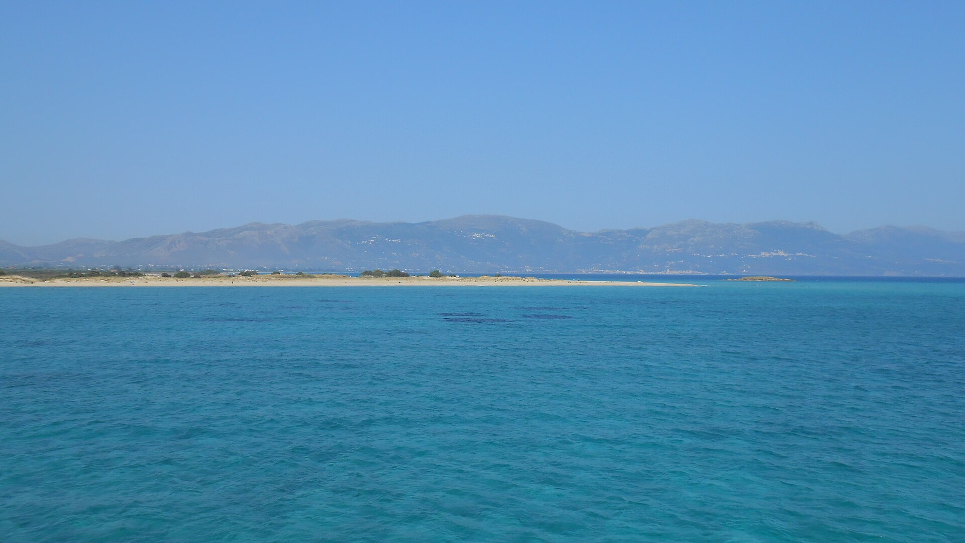
What archaeology says
After Flemming's 1967 discovery, a Cambridge University team surveyed the site in 1968 with tapes and snorkels, mapping fifteen buildings, courtyards and graves. Four decades later, the Pavlopetri Underwater Archaeology Project (2009–2013), directed by Jon Henderson of the University of Nottingham with Elias Spondylis of the Greek Ephorate of Underwater Antiquities and the Australian Centre for Field Robotics, resurveyed the town using stereo-photogrammetry, sector-scanning sonar and robotic mapping — making Pavlopetri the first submerged town digitally recorded in true three dimensions. The project added over 9,000 square metres of new buildings, including a large rectangular hall and a street lined with structures, bringing the mapped town to roughly four hectares, with estimates up to eight.
Recovered ceramics run from the Final Neolithic and Early Helladic (c. 3500–2000 BC) through a flourishing Mycenaean phase (c. 1600–1100 BC), when Pavlopetri operated as a port town in Aegean trade networks — pithos fragments, loom weights and imported wares point to textiles and commerce. The town's drowning was not a flood-myth cataclysm in the popular sense: this stretch of Laconian coast is tectonically subsiding, and a combination of earthquakes and gradual sea-level change lowered the site by several metres, with submergence conventionally placed around 1000 BC.
Since the 2011 BBC documentary 'City Beneath the Waves' made it famous, conservation has become the pressing issue: large ships anchoring in Vatika Bay, hull pollution and shifting sediments threatened the ruins, and Pavlopetri was placed on the 2016 World Monuments Watch. Greece published protective coordinates in 2018, establishing a buffer zone banning anchoring and fishing over the site, now marked by buoys and on navigation charts.
- Ceramics spanning c. 3500–1100 BC, from Final Neolithic through Mycenaean, recovered across the town grid
- A complete legible town plan — streets, ~50 buildings, courtyards and 37+ cist graves — mapped in 3D by the 2009–13 Nottingham project
- Known tectonic subsidence of the Laconian coast providing a documented submergence mechanism
- Continuity between the underwater town and the chamber-tomb cemetery on the adjacent shore
- Trade goods, pithoi and loom weights consistent with an ordinary Bronze Age port economy