Lost Worlds · Grand Traverse Bay, Lake Michigan, Michigan, USA

The Lake Michigan Stone Circle & 'Mastodon' Boulder

A line of boulders 12 metres down, one said to bear a carved mastodon — a 'Michigan Stonehenge' the discoverer never called Stonehenge.

Mainstream: If cultural: c. 7000–4000 BC, when the Lake Chippewa lowstand exposed the lakebed as dry landAlternative: c. 9000 BC or earlier implied by the claimed mastodon carving (mastodons vanished ~11,000 years ago)44.92°, -85.50°

At a glance

The Lake Michigan Stone Circle & 'Mastodon' Boulder
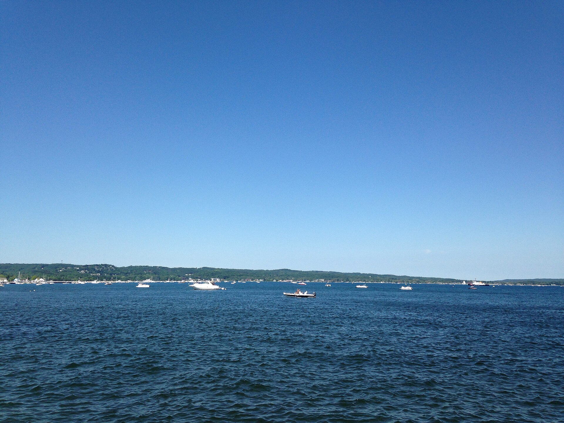
Photo: Ginothewall30 · CC BY-SA 3.0

In 2007, underwater archaeologist Mark Holley of Northwestern Michigan College and sonar technician Brian Abbott were surveying the floor of Grand Traverse Bay for shipwrecks when their side-scan sonar picked up something unexpected in about 12 metres of water: an arrangement of granite boulders, described as including a circle and a long alignment running across the lakebed. On one table-sized boulder, divers photographed markings that some observers read as a carved mastodon — an animal extinct in North America for over 11,000 years. The find was quickly branded 'Lake Michigan's Stonehenge' by the internet, a label Holley himself has spent years walking back. The site's precise location is kept confidential in agreement with local Grand Traverse Band tribal authorities and the State of Michigan, which owns the lake bottom.

See it on the globe →
The mainstream view

What archaeology says

The sober archaeological reading starts with what is uncontroversial: during the Lake Chippewa lowstand, roughly 10,000 to 5,500 years ago, water levels in the Lake Michigan basin fell far below today's, and the floor of Grand Traverse Bay was dry, habitable land. Prehistoric people demonstrably lived on such exposed landscapes — that much is proven beyond doubt by the caribou drive lanes on the Alpena-Amberley Ridge under Lake Huron, and University of Michigan archaeologist John O'Shea has noted that a hunting-related function, such as a drive lane, would be a sensible parallel for a genuine boulder alignment in Grand Traverse Bay. So a cultural stone construction here is not inherently extraordinary.

The caution comes at the level of evidence. Northern Michigan's lakebeds are littered with glacial erratics — granite boulders dumped by the retreating ice sheet — and distinguishing a deliberately arranged line from a natural boulder train requires careful mapping, not sonar impressions. Holley has consistently stressed that the site is best described as a long line of stones rather than a Stonehenge-like ring, and that the 'circle' imagery in the press outran the data. The mastodon 'carving' is the weakest link: specialists who examined the photographs were unpersuaded, suggesting natural fissuring, differential weathering and pareidolia, and the boulder has never been raised or independently analysed by rock-art experts. No peer-reviewed publication has yet established the site as cultural. Reports from 2025 of multibeam re-surveys mapping concentric rings and a stone line over a kilometre long circulated widely in the media, but these too await formal scientific publication. The verdict remains: plausible, unproven.

Key evidence cited
  • The Lake Chippewa lowstand genuinely exposed Grand Traverse Bay as dry, habitable land c. 10,000–5,500 years ago
  • Confirmed submerged caribou drive lanes in Lake Huron prove such sites can exist and survive in the Great Lakes
  • Glacial erratic boulder trains are common on Michigan lakebeds and can mimic deliberate alignments
  • Rock-art specialists shown the photographs did not confirm the 'mastodon' as a human-made carving
  • No peer-reviewed publication has established the arrangement as cultural in nearly two decades
The alternative view

What the skeptics propose

For proponents, the Grand Traverse Bay stones are North America's most tantalising drowned monument. The claimed mastodon petroglyph is central: if a human hand carved a mastodon, the artist must have seen one, anchoring the carving — and plausibly the arrangement — to before roughly 9000 BC, which would make it among the oldest rock art in the Americas and evidence of monument-building millennia earlier than accepted for the region. Writers in the alternative-history sphere fold the site into a broader picture of a drowned early Holocene world: if Lake Huron preserves 9,000-year-old hunting architecture, they argue, why should a contemporaneous ceremonial or calendrical structure under Lake Michigan be dismissed? Some point to reported sunrise alignments as hints of an early astronomical marker.

Proponents also note, with some justice, that the site has suffered from an odd institutional limbo rather than a decisive debunking: the location is secret, access is restricted, the boulder has never been properly tested, and nearly two decades after discovery there is still no definitive published study either way. The renewed survey work reported in 2025, using multibeam sonar and ROV footage, is read by enthusiasts as vindication that the formation is larger and more structured than sceptics allowed. The balanced counterpoint is that Holley — the person who knows the site best — has never claimed a Stonehenge, a confirmed carving, or a solved mystery; the strongest honest claim is that a potentially significant submerged site awaits the rigorous, published investigation it has always deserved.

Key evidence cited
  • Sonar and diver documentation of a long boulder alignment, with reported circular arrangements
  • Photographs of markings on a granite boulder interpreted by some viewers as a mastodon in profile
  • A mastodon image would date human activity at the site to before c. 9000 BC
  • Reported 2025 multibeam surveys said to map concentric rings and a stone line over a kilometre long
  • Claimed sunrise alignments suggesting a possible calendrical function

Genuinely open questions

  1. Is the boulder alignment a human construction, a glacial boulder train, or a hunting drive lane like those in Lake Huron?
  2. Are the markings on the granite boulder a carved mastodon, natural fissures, or something in between?
  3. What will formal publication of the recent multibeam and ROV surveys actually establish about the site's extent?

Worth knowing

The stones were found completely by accident — Holley and Abbott were being paid to hunt for shipwrecks in Grand Traverse Bay, and the sonar returned a 'Stonehenge' instead of a schooner.