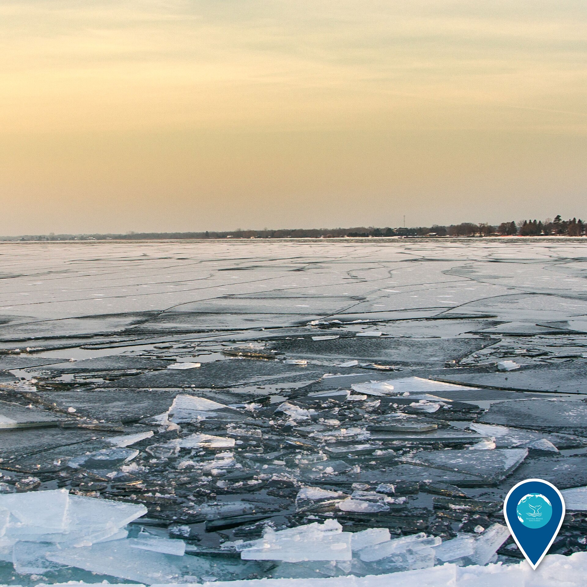
Origins of Civilisation · Lake Huron, between Alpena, Michigan, USA and Point Clark, Ontario, Canada

Alpena-Amberley Ridge

Thirty-seven metres beneath Lake Huron, 9,000-year-old caribou hunting lanes prove that drowned worlds keep their secrets intact.

Mainstream: c. 7000 BC (Lake Stanley lowstand, ~8,400–9,900 years ago), confirmed by radiocarbon datingAlternative: Date undisputed — cited across the spectrum as proof that intact prehistoric sites survive on drowned landscapes44.75°, -82.90°

At a glance

Alpena-Amberley Ridge
Photo: NOAA · Public domain

The Alpena-Amberley Ridge is a limestone spine running roughly 200 kilometres beneath Lake Huron from Alpena, Michigan to Point Clark, Ontario. During the Lake Stanley lowstand, when water levels in the Huron basin dropped dramatically between about 9,900 and 8,400 years ago, the ridge stood above the water as a dry, windswept corridor of tundra-like parkland connecting Michigan to Ontario. From 2008 onwards, a University of Michigan team led by John O'Shea used sonar, autonomous underwater vehicles and scuba archaeology to reveal that early Holocene hunters built stone hunting architecture along this causeway to intercept migrating caribou. It is arguably the finest demonstration anywhere in the world that submerged landscapes preserve intact prehistoric sites — the proof-of-concept for every serious conversation about drowned archaeology.

See it on the globe →
The mainstream view

What archaeology says

O'Shea and colleagues announced the first submerged hunting structures in 2009 and published the landmark find, the Drop 45 Drive Lane, in the Proceedings of the National Academy of Sciences in 2014. Lying under about 37 metres of water some 56 kilometres southeast of Alpena, Drop 45 consists of two parallel lines of stones forming a lane about 8 metres wide and 30 metres long, funnelling towards a natural cobble cul-de-sac, with three circular stone hunting blinds built into the lines. Chert flakes from tool maintenance were recovered inside the blinds — direct human fingerprints. More than 60 stone constructions have now been documented along the ridge, closely paralleling historic and Arctic caribou drive systems, and agent-based computer simulations of caribou movement showed the structures sit precisely where migrating herds would naturally funnel. Preserved wood, pollen and sediment cores allowed reconstruction of the exposed ridge as a spruce-and-tamarack parkland dotted with ponds and marshes — ideal caribou country.

The site's preservation is the headline lesson: because the ridge drowned gently under cold fresh water and was never ploughed, developed or looted, its 9,000-year-old surface survives essentially as abandoned. The research also delivered a genuine shock: two small obsidian flakes recovered from a submerged site on the ridge were geochemically sourced, in a 2021 PLOS One paper, to the Wagontire source in central Oregon — more than 4,000 kilometres away — making them the oldest and most distant obsidian ever found in eastern North America and revealing continent-spanning exchange networks in the early Holocene. The team even inferred social organisation: smaller autumn hunting parties used individual blinds, while the large spring drives required cooperating groups, implying seasonal aggregation. This is underwater prehistory at its most rigorous — hypothesis-driven, published, replicated and independently dated.

Key evidence cited
  • Drop 45 Drive Lane published in PNAS (2014): parallel stone lines, blinds and a cul-de-sac 37 m below Lake Huron
  • Chert flakes recovered inside hunting blinds — direct evidence of human tool maintenance on site
  • Over 60 documented stone constructions closely matching known Arctic caribou drive systems
  • Sediment cores, preserved wood and pollen dating the exposed landscape to c. 8,400–9,900 years ago
  • Obsidian flakes sourced to Oregon, 4,000 km away (PLOS One, 2021), proving early Holocene long-distance exchange
The alternative view

What the skeptics propose

There is no meaningful alternative dispute about the Alpena-Amberley Ridge itself — its age, function and cultural attribution are accepted. Its significance in the wider debate is as ammunition, and both camps fire it. Alternative writers, including Graham Hancock, have long argued that the world's continental shelves, flooded by some 120 metres of post-glacial sea-level rise, must conceal the settlements of Ice Age peoples, and that archaeology's terrestrial bias systematically underestimates early coastal civilisation. The Lake Huron discoveries are cited as decisive proof of principle: here is exactly the kind of intact, structured, datable site sceptics said would not survive inundation, found precisely because researchers took a drowned landscape seriously and looked.

Mainstream archaeologists draw a narrower but compatible lesson: submerged-landscape archaeology works when driven by testable predictions — O'Shea targeted the ridge because it was the logical caribou corridor, not because legend pointed there. They caution against the leap from 'drowned hunting camps exist' to 'drowned advanced civilisations exist': what Lake Huron preserves is consistent with everything known about early Holocene hunter-gatherers, just extraordinarily well kept. Even so, the ridge has genuinely shifted the field. It helped legitimise major submerged-prehistory programmes worldwide, from Doggerland in the North Sea to the drowned coastlines of Australia's Pilbara studied under the Deep History of Sea Country project, where Aboriginal artefacts have now been recovered from the seabed. On this much, Hancock and his critics agree: the most important unexcavated archaeological real estate on Earth is under water.

Key evidence cited
  • Direct proof that intact prehistoric structures survive drowning — the core premise of lost-coastline arguments
  • Some 25 million sq km of habitable land drowned globally after the Ice Age, overwhelmingly unsurveyed
  • Continent-spanning obsidian exchange showing early societies more connected than once assumed
  • Cold fresh water preserved organics and site layout for nine millennia, suggesting older sea floors could do likewise
  • Success came from predictive modelling of a drowned landscape — a method applicable to any flooded shelf

Genuinely open questions

  1. Where are the campsites and habitation areas of the hunters who built the drive lanes, and do organic artefacts survive there?
  2. How did Oregon obsidian cross 4,000 km to reach the ridge — down-the-line exchange or long-distance travel?
  3. How many comparable sites survive on other drowned landscapes, from Doggerland to the Sunda Shelf?

Worth knowing

Two obsidian flakes smaller than coins, found 37 metres down in Lake Huron, were chemically fingerprinted to a volcanic source in Oregon 4,000 kilometres away — the earliest and most distant obsidian ever identified in eastern North America.