Lost Worlds · Dwarka, Gujarat & Gulf of Khambhat, India

Dwarka & the Gulf of Khambhat Structures

India's drowned holy city and a sonar 'metropolis' under nine metres of silt-black water — where marine archaeology collides with the Mahabharata.

Mainstream: Dwarka/Bet Dwarka: settlement from c. 1700–1500 BC (late Harappan), with most offshore stonework historical-era; Khambhat 'city': unverifiedAlternative: c. 7500–9500 BC for the Khambhat structures (disputed wood dates); Dwarka as Krishna's city, traditionally drowned c. 3100 BC22.24°, 68.97°

At a glance

Dwarka & the Gulf of Khambhat Structures
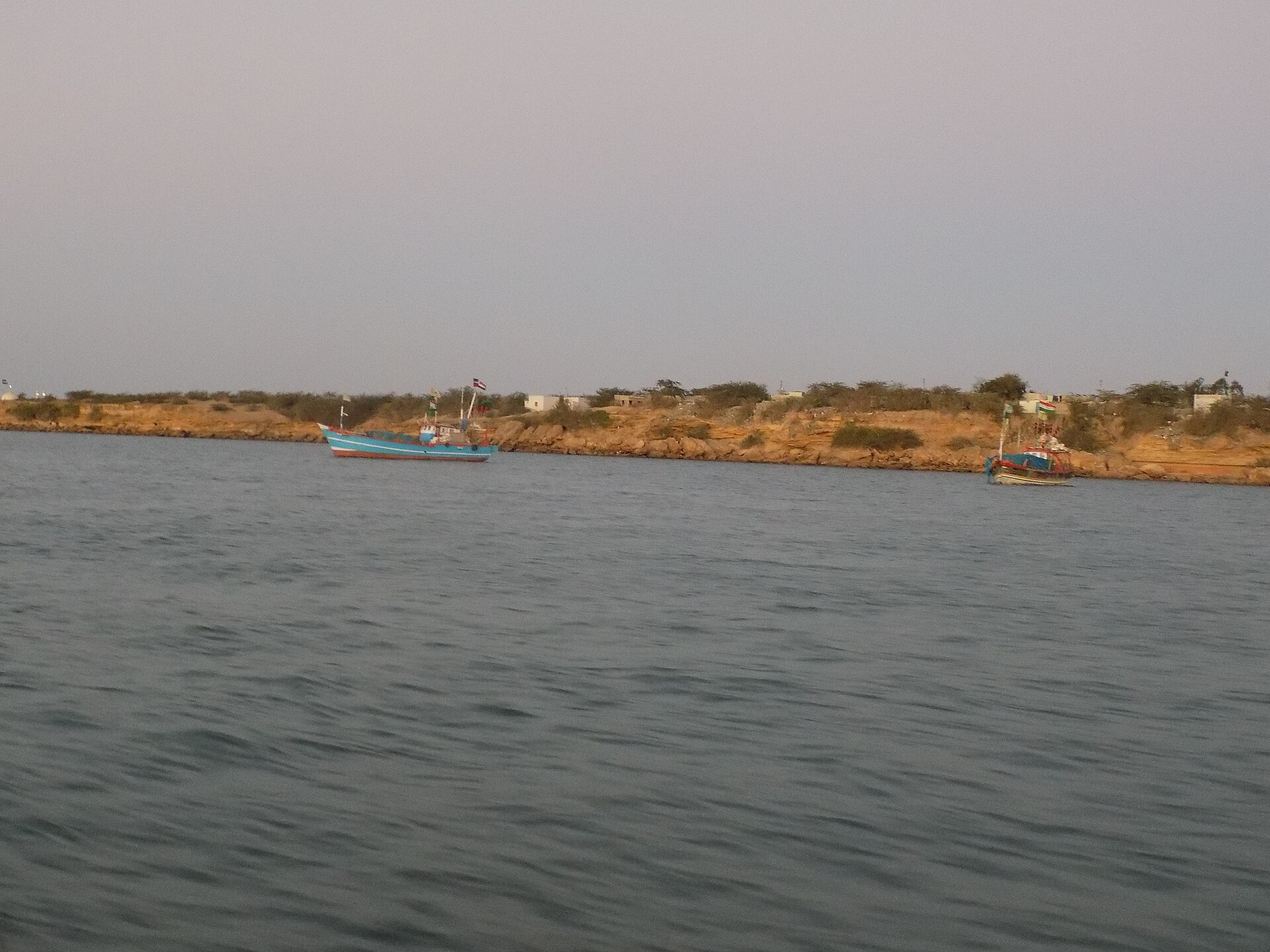
Photo: Mayuri Dawande · CC BY-SA 4.0

Hindu tradition holds that Dwarka, on Gujarat's Saurashtra coast, was the golden city of Lord Krishna, swallowed by the sea after his death — one of the oldest submerged-city accounts in world literature. From 1983 to 1990 the pioneering marine archaeologist S.R. Rao led India's first major underwater excavations off Dwarka and nearby Bet Dwarka island, recovering walls, bastions and dozens of stone anchors. Two hundred kilometres to the south-east, in the murky, current-scoured Gulf of Khambhat (Cambay), engineers from the National Institute of Ocean Technology (NIOT) reported sonar images in 2000–2001 of vast grid-like patterns 40 metres down, and dredged up wood radiocarbon-dated to around 9,500 years before present — a claim that, if it were an artefact of a city, would predate the accepted origin of urban civilisation by millennia.

See it on the globe →
The mainstream view

What archaeology says

Professional archaeology treats the two claims very differently. At Dwarka and Bet Dwarka there is genuine, well-documented archaeology: Rao's National Institute of Oceanography (NIO) teams and later NIO researchers such as A.S. Gaur and Sundaresh recovered late Harappan pottery, a conch-shell seal bearing a three-headed animal motif, inscribed sherds and scores of triangular and grapnel-shaped stone anchors. Thermoluminescence dating of pottery from Bet Dwarka suggests settlement by around 1700–1500 BC. But subsequent NIO work has argued that much of the submerged stonework off modern Dwarka is considerably younger — historical to medieval in age — and that the anchors span many centuries of trade, indicating a long-lived port rather than a single drowned Bronze Age metropolis. Identifying any of it with the Mahabharata's Dvaraka is a literary correlation, not a stratigraphic one.

The Gulf of Khambhat claims meet far harsher criticism. The 'structures' are known only from side-scan sonar in near-zero-visibility water; critics note that regular grid patterns can be generated by scan-line artefacts and by natural jointing in submerged riverbed sediments — the area lies over well-known palaeochannels. The dated wood was recovered by dredging, not excavation, so it has no secure association with anything built: 9,500-year-old wood in an old river channel is unremarkable. Geologist Paul Heinrich and others have argued the recovered 'artefacts' are largely geofacts — naturally shaped stones — and prominent archaeologists in India and abroad criticised the announcements as premature. No peer-reviewed excavation report has ever substantiated a city.

The story is still unfolding: in 2025 the Archaeological Survey of India, under Additional Director-General Alok Tripathi, launched fresh side-scan sonar and diving campaigns off Dwarka and Bet Dwarka — mainstream archaeology continues to investigate, but within a conventional chronology.

Key evidence cited
  • Late Harappan pottery and thermoluminescence dates placing Bet Dwarka settlement around 1700–1500 BC
  • Later NIO studies dating much of the submerged Dwarka stonework to historical and medieval periods
  • Dozens of stone anchors of varied types, indicating a long-lived port active across many centuries
  • The Khambhat wood was dredged without context — old wood in palaeochannels does not date a structure
  • Critiques (e.g. Paul Heinrich) identifying the recovered Khambhat pieces as probable geofacts, with no peer-reviewed excavation ever confirming a city
The alternative view

What the skeptics propose

S.R. Rao himself — the celebrated excavator of the Harappan port of Lothal, and no fringe figure — argued that his submerged finds were the historical kernel of the Mahabharata's Dvaraka. He read the fortified walls, bastions and the three-headed-animal seal (echoing the Harivamsa's statement that citizens of Dvaraka carried a mudra as identification) as evidence of a planned city-state of about 1500 BC, drowned by the encroaching sea much as the epic describes. For Rao, the epic was not myth but memory. Traditionalists push further, holding to the Puranic chronology in which Krishna's city sank at the onset of the Kali Yuga, conventionally 3102 BC.

The Gulf of Khambhat announcement in 2001 by India's science and technology ministry, based on NIOT survey work, electrified alternative historians. Graham Hancock made the 'Gulf of Cambay' discoveries a centrepiece of 'Underworld' (2002), diving in Indian waters and arguing that the sonar grids, the dredged wood dated to roughly 7500 BC (with some determinations near 9500 years before present), and recovered beads, sherd-like fragments and stone pieces were exactly what his model predicted: urban-scale settlements on coastal plains flooded at the end of the Ice Age. On this reading, India's flood traditions — from Manu's deluge to the drowning of Dvaraka — preserve authentic memories of post-glacial inundation, and the Khambhat structures could be remnants of a mother culture ancestral to the Indus civilisation.

Proponents observe that the Gulf's ferocious tides and opaque water have prevented the kind of controlled excavation that could settle the matter, and they ask why 'anomalous' dates are dismissed rather than tested. Sceptics reply that the burden of proof lies with the claim — and that dredged wood and ambiguous sonar cannot carry it. Both sides, unusually, agree on one thing: the drowned coastlines of India remain barely explored.

Key evidence cited
  • S.R. Rao's excavated walls, bastions and the three-headed-animal seal matching a detail in the Harivamsa
  • NIOT side-scan sonar images showing kilometres-scale rectilinear grid patterns 40 metres deep in the Gulf of Khambhat
  • Wood from the Khambhat sites radiocarbon-dated to c. 7500 BC, with determinations up to ~9,500 years before present
  • The Mahabharata's detailed description of Dvaraka's submergence, mirrored by real local sea-level change
  • NIOT's dredged assemblage of bead-like, sherd-like and worked-looking stone objects from the grid areas

Genuinely open questions

  1. What will the ASI's 2025–26 diving and sonar campaigns off Dwarka and Bet Dwarka actually find beneath the silt?
  2. Are the Gulf of Khambhat sonar grids buried structures, jointed palaeochannel sediments, or scan artefacts — and can controlled excavation in those waters ever be done?
  3. How old are the earliest harbour works at Dwarka, and how far back does the memory preserved in the Mahabharata really reach?

Worth knowing

S.R. Rao took up scuba diving to lead the Dwarka excavations when he was already in his seventies — and India's 2025 return to the site included training a new generation of ASI archaeologists to dive at Dwarka itself.