Lost Worlds · Off the Guanahacabibes Peninsula, Pinar del Río, Cuba

The Cuban Underwater 'Structures', Guanahacabibes

Sonar images of 'symmetrical blocks' 650 metres down sparked talk of a Caribbean Atlantis — then the follow-up expedition never came.

Mainstream: No accepted archaeological site — sonar targets interpreted as natural geological formationsAlternative: c. 4000 BC or earlier (proposed submerged city; the depth would imply an age of 50,000+ years)21.87°, -85.03°

At a glance

The Cuban Underwater 'Structures', Guanahacabibes
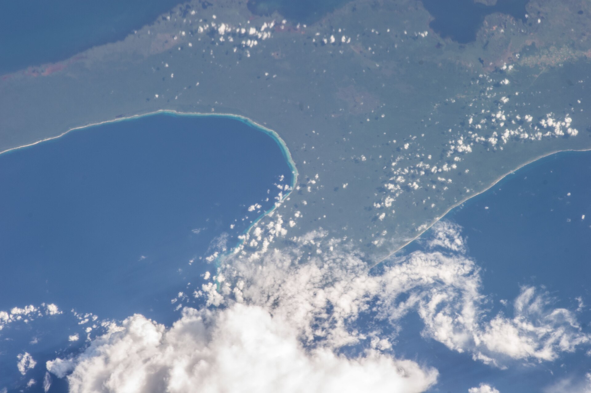
Photo: NASA Earth Science and Remote Sensing Unit, Johnson Space Center · Public domain

In 2001, Canadian marine engineers Paulina Zelitsky and Paul Weinzweig of the firm Advanced Digital Communications (ADC), working under contract with the Cuban government to survey for shipwrecks and resources, reported a startling side-scan sonar discovery off the western tip of Cuba. Across roughly two square kilometres of seabed at about 600 to 750 metres depth, their instruments traced what looked like symmetrical, geometrically arranged stone blocks — described in press reports as resembling pyramids, circles and roads. A follow-up pass with a remotely operated vehicle filmed large, smooth-sided blocks, and for a brief moment the world's media entertained the idea of a drowned city older than the pyramids. More than two decades later, no scientific expedition has ever returned to the site, and it remains one of the great unresolved curiosities of underwater exploration.

See it on the globe →
The mainstream view

What archaeology says

Mainstream scientists have never accepted the site as artificial, and the central objection is brutally simple: the depth. Global sea level at the coldest point of the last Ice Age stood only about 120 to 130 metres below today's — nowhere near 650 metres. For a built city to now lie at that depth, the land beneath it would have had to subside dramatically. Cuban geologist Manuel Iturralde-Vinent of Cuba's Museum of Natural History, who examined the sonar data and was initially intrigued, calculated that at plausible regional subsidence rates the structures would need to be on the order of 50,000 years old — tens of thousands of years before monumental architecture existed anywhere on Earth. He concluded the formations were 'extremely peculiar' but cautioned that nature is capable of producing surprisingly regular shapes, particularly in faulted and fractured limestone terrain along the boundary zone between the North American and Caribbean plates.

Other specialists agreed. Michael Faught, then an underwater archaeologist at Florida State University with direct experience of genuine submerged prehistoric sites, remarked that the structures were 'out of time and out of place', and geologists noted that jointed bedrock, fault blocks and mass-wasting debris routinely fool low-resolution sonar into suggesting right angles and repetition. Crucially, nothing from the site was ever recovered, dated or published in a peer-reviewed journal; the entire case rests on sonar imagery and brief ROV footage held by a private company. From the mainstream standpoint there is nothing to explain until physical evidence exists — and the silence since 2001 speaks loudly.

Key evidence cited
  • Ice Age sea level fell only ~120–130 m, so a 650 m deep 'city' cannot be explained by sea-level rise
  • Iturralde-Vinent's subsidence calculations imply an impossible age of ~50,000 years for built structures
  • The area lies on a faulted plate-boundary zone where jointed limestone naturally forms blocky, angular shapes
  • No artefact, sample or date has ever been recovered; the case rests entirely on sonar and brief ROV footage
  • No peer-reviewed publication or independent verification in more than two decades
The alternative view

What the skeptics propose

Zelitsky herself was measured, saying it would be irresponsible to declare what the site was before gathering evidence, but she also noted that some blocks appeared cut, stacked and organised in ways she found hard to attribute to geology, and she speculated about connections to Maya and Yucatec traditions of an ancestral land lost to the sea, and to the possibility that a land bridge once linked Yucatán, Cuba and the wider Antilles. Alternative researchers such as Andrew Collins, author of Gateway to Atlantis, folded the discovery into a broader case that Cuba and the drowned Bahama Banks preserve memories of a Caribbean homeland behind Plato's Atlantis story, while others pointed to local indigenous traditions and to the megalithic look of the ROV imagery.

For proponents, the aftermath is as suspicious as the discovery. National Geographic took genuine early interest — the Society discussed supporting a proper submersible investigation, and experts reviewed ADC's data — yet the funded follow-up repeatedly failed to materialise, stalled by the cost of working at 650 metres, the politics of operating in Cuban waters and, sceptics of the sceptics argue, institutional reluctance to risk reputations on a fringe target. Advocates also challenge the subsidence objection, noting that the Caribbean plate boundary is tectonically violent and that catastrophic faulting could in principle drop a coastal landscape far faster than gradual rates allow. Until someone returns with modern multibeam sonar and an ROV, they argue, dismissal is as evidence-free as belief — the site has been neither confirmed nor debunked, merely abandoned.

Key evidence cited
  • Side-scan sonar imagery showing symmetrical, repeated block-like forms across ~2 sq km
  • ROV footage described by ADC as showing large smooth-faced, apparently stacked stone blocks
  • Zelitsky's report of granite-like stone said to be out of place on the local carbonate seabed
  • Regional traditions (Maya and Antillean) of ancestral lands lost beneath the sea, cited by Andrew Collins
  • The tectonically active plate boundary offers a mechanism, in principle, for rapid catastrophic subsidence

Genuinely open questions

  1. What do the formations actually look like under modern high-resolution multibeam sonar and ROV cameras?
  2. Why did the planned National Geographic-backed follow-up expedition never take place?
  3. Can rock samples resolve whether the blocks are local bedrock or exotic, worked stone?

Worth knowing

Before the 'lost city' made headlines, Zelitsky's ADC team scored a genuine coup in Cuban waters — helping to locate deep-water wreckage associated with the USS Maine, the battleship whose 1898 sinking sparked the Spanish-American War.