Ancient Knowledge · Chincha Valley, Ica Region, Peru

The Chincha Ray Centres

Dozens of dead-straight lines converging on ceremonial mounds that mark the winter solstice — the Nazca Lines' older, more legible cousins.

Mainstream: c. 400–100 BC (late Paracas era, predating the Nazca florescence)Alternative: Date not seriously disputed — the Chincha lines instead reshape the Nazca debate by proving the tradition is older, astronomical and mound-centred-13.47°, -76.08°

At a glance

The Chincha Ray Centres
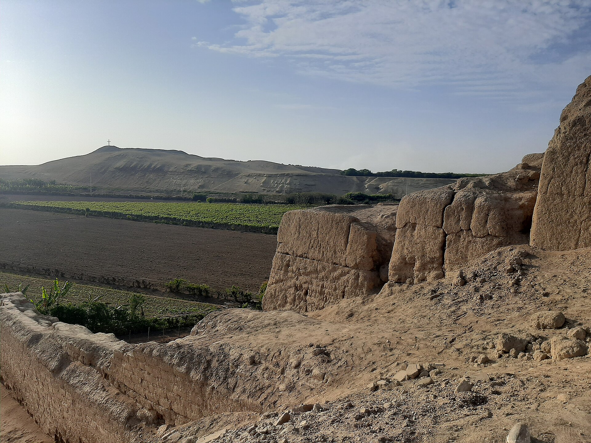
Photo: Sandro Ruiz · CC BY-SA 4.0

A river valley north of the famous Nazca plateau holds what may be the key to the whole Peruvian line-building tradition. In the desert pampas of the Chincha Valley, archaeologists Charles Stanish and Henry Tantaleán mapped 71 straight lines and geoglyphs — some kilometres long — organised into 'ray centres' that converge on a series of U-shaped ceremonial mounds and cairns. Their 2014 study, published in the Proceedings of the National Academy of Sciences, showed the system was built by the late Paracas culture between roughly 400 and 100 BC, generations before the great Nazca figures, and that several lines and mound alignments point to the June solstice sunset — midwinter in the southern hemisphere. Pottery, platforms and settlement remains tie the lines into a living ritual landscape rather than an isolated gallery of images.

See it on the globe →
The mainstream view

What archaeology says

The Chincha system matters because it is datable and contextualised in ways Nazca's open desert resists. The lines' association with stratified mounds, datable ceramics and habitation sites let Stanish and Tantaleán anchor the tradition in the late Paracas world, and the solstice orientations — confirmed statistically across multiple line segments and mound axes — support a calendrical and ceremonial reading: the lines choreographed movement and gathering across the pampa, drawing scattered communities toward the mounds for festivals keyed to the agricultural year. Distinct line clusters may even have belonged to distinct social groups, each maintaining its own ray centre, a pattern later ethnography records for Andean 'ceque' systems radiating from Cusco.

For the wider debate, Chincha supplies the developmental sequence the Nazca Lines lacked: straight lines converging on ritual nodes came first, in Paracas times; the famous animal figures of Nazca were a later elaboration of an established tradition of walking, gathering and marking the desert. On this view nothing about the lines requires aerial viewing at any stage — they were always infrastructure for ritual movement, legible on foot and from the low platforms at their convergence points.

Key evidence cited
  • The 2014 PNAS study mapping 71 lines and geoglyphs tied to U-shaped ceremonial mounds
  • Late Paracas ceramics and settlement context dating the system to c. 400–100 BC
  • Statistically supported June solstice sunset alignments of lines and mound axes
  • Continuity with documented Andean ceque and pilgrimage-line traditions
  • Stratified, excavatable mounds giving the lines the dated context Nazca lacks
The alternative view

What the skeptics propose

The Chincha ray centres have drawn less fringe attention than Nazca itself, but they inevitably inherit the neighbourhood's controversies. Ancient-astronaut writers who read the Nazca pampa as runways or signals have to reckon with Chincha's earlier, humbler lines converging on ordinary adobe mounds — an awkward fit for extraterrestrial infrastructure, which sceptics enjoy pointing out. Some alternative authors instead fold Chincha into arguments for a single ancient Andean science of alignment: they link the ray centres, the Nazca lines, the Sajama networks in Bolivia and Cusco's ceque system into one continent-scale tradition of straight sacred lines, which they compare to ley-line theories elsewhere and trace speculatively toward far older coastal civilisations like Caral.

The genuinely open questions are ones mainstream researchers themselves press: why straightness mattered so intensely to Andean peoples for two thousand years; how much astronomy beyond the June solstice is encoded in the networks; and whether the ray-centre idea arrived in Chincha from somewhere older still. Stanish's own framing — that the lines were 'social technology' for synchronising dispersed groups — is broadly accepted, but the depth of the tradition's roots remains unexcavated, and each new survey of Peru's coastal valleys keeps finding more lines.

Key evidence cited
  • Proof that Peru's line-building tradition is centuries older than the famous Nazca figures
  • Claimed links into a continent-wide system of straight sacred alignments
  • The unexplained cultural obsession with perfect straightness across rough terrain
  • Possible deeper roots in older coastal civilisations not yet traced
  • Ray-centre geometry that some writers compare to ley-line networks worldwide

Genuinely open questions

  1. Where and when did the ray-centre tradition actually begin — is Chincha the origin or a way-station?
  2. How much astronomical knowledge beyond the June solstice is encoded in the line networks?
  3. What happened at the mounds during solstice gatherings, and who controlled them?

Worth knowing

The Chincha lines were plotted with such consistency that modern researchers walking a line with GPS found segments deviating only a few metres over multiple kilometres — precision achieved by people sighting between cairns across a shimmering desert, four centuries before the first Nazca hummingbird was drawn.